WipFrag 4 now allows our users to choose between 3rd party software or single drone images to create GeoTIFF orthomosaic images for analysis.
To create your own orthomosaic inside the software, we have integrated the ODM (Open Drone Map) feature. With this new feature, you can take single drone images that don’t require expensive 3rd party software and create your own GeoTIFF file.
If you already have 3rd party software and want to create an GeoTIFF orthomosaic image to upload into WipFrag 4, simply take images using a drone and third party flight path software creating a GeoTIFF orthomosaic image.
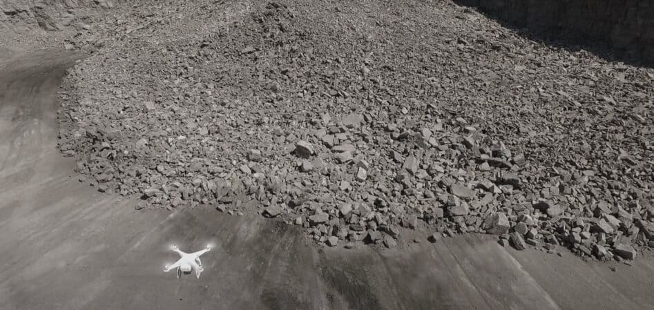
Along with WipFrag, we recommend specific DJI products and flight path software such as Drone Deploy or Pix4D. Using flight path software products with a drone will allow you to generate 3D profiles, stockpile volumes, elevation heat mapping, and our favorite – GeoTIFF orthomosaic images.
When deciding on a drone, here are some specs and camera recommendations.
Recommended drone specs and its camera:
- Good quality camera (>6 megapixels still images)
- Good flight time (>25 minutes is suitable for most applications)
- Gimbal capable of downward view (perpendicular to the ground)
- Capable of iOS interface for autonomous mission planning & flight
- Good flight speed (>40mph/65kph necessary for wind resistance)
- Good operating range (>4mi/6.4km helps in pit environment)
- Automatic collision avoidance and return to home capability
- Reasonably priced and easy to find parts/accessories
- GPS & GLONASS
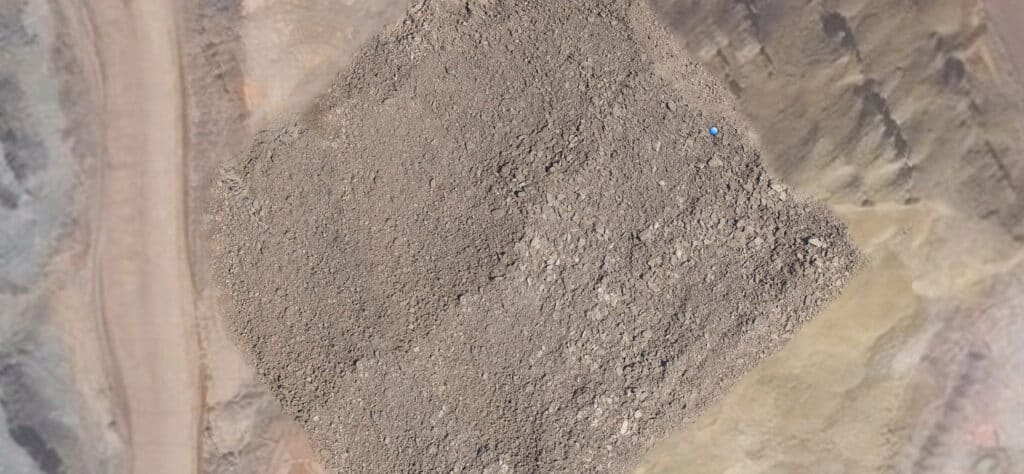
WipFrag takes the GeoTIFF orthomosaic drone images and creates detailed blast fragmentation measurements. The drone software stitches the images together and creates a high resolution, larger image. The drone software aligns the photographs to maintain scale and create an exact representation of the earth’s surface.
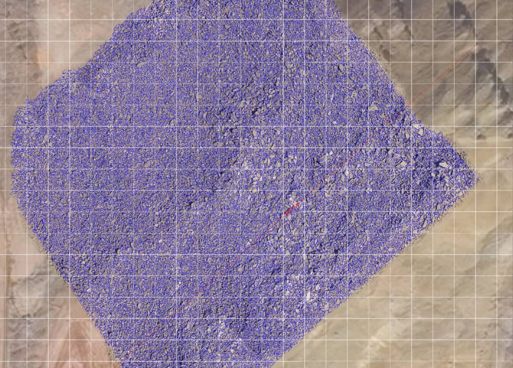
Drone orthomosaic images do not need a scale reference on the blast pile because the GeoTIFF orthomosaic image has the scale reference embedded in it and WipFrag 4 Windows software has enhanced capabilities to handle these large data sets.
WipFrag 4 also give you the option to use our MailFrag service which also supports GeoTIFF Orthomosaic images. UAV image submission is the same as standard MailFrag image submission. One UAV image analysis costs 9 image analysis credits.
Please visit our website for more information about WipFrag 4 and our MailFrag online image analysis service.
We’re happy to provide additional support and detailed recommendations. Feel free to email us at support@wipware.com. Remote training sessions are also available.
For a tutorial on how this new ODM feature works, click here